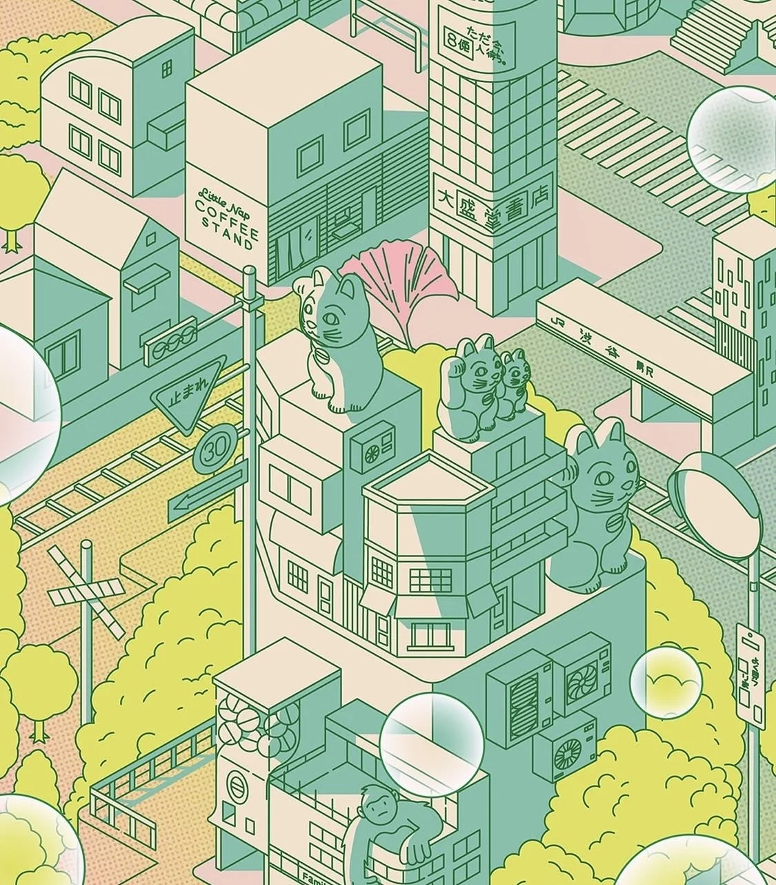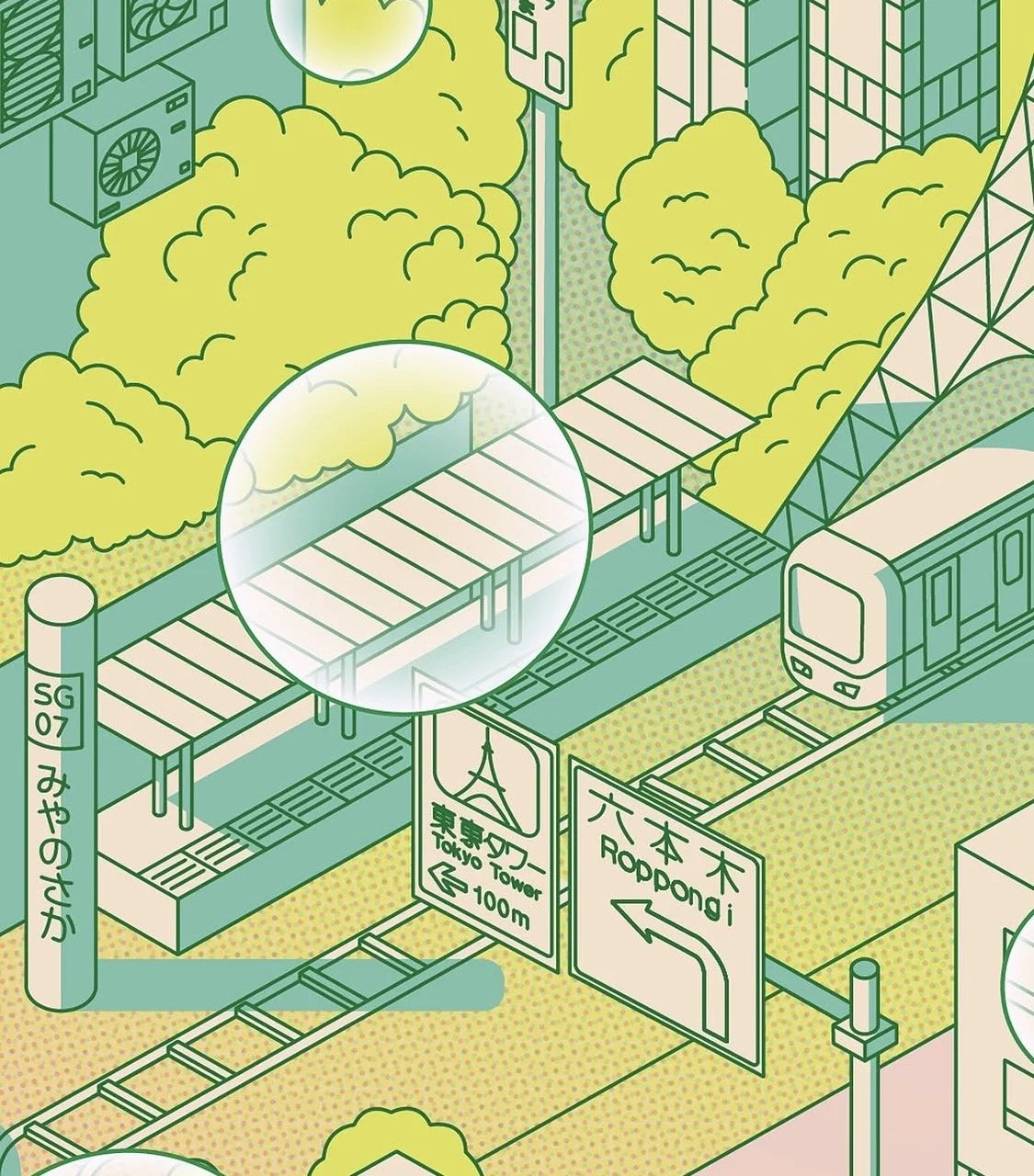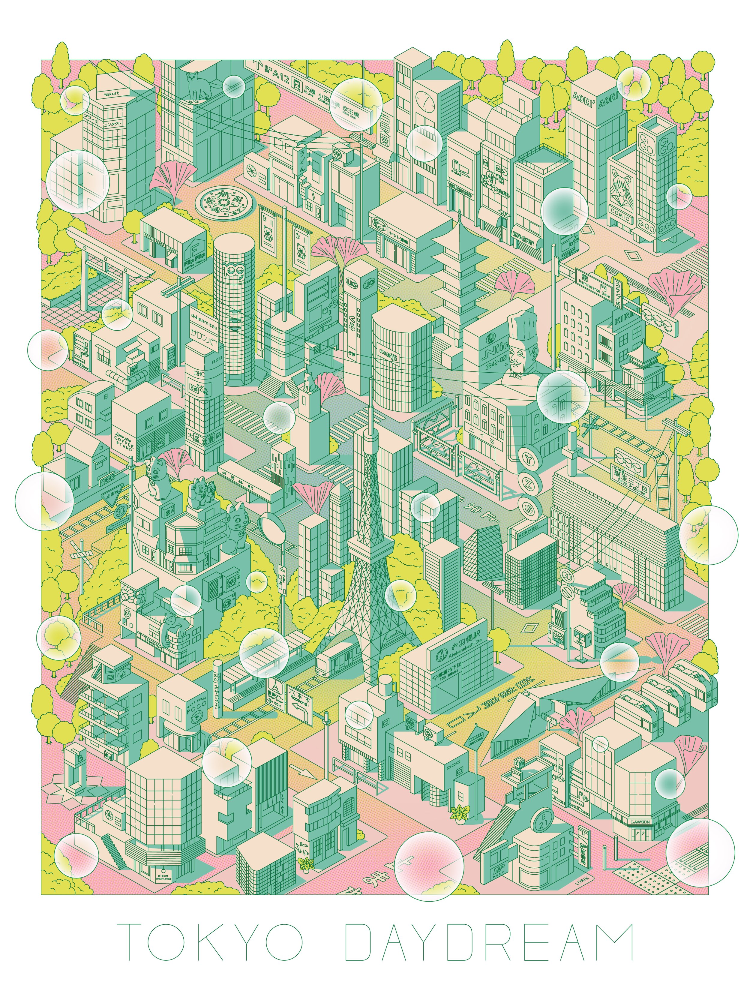
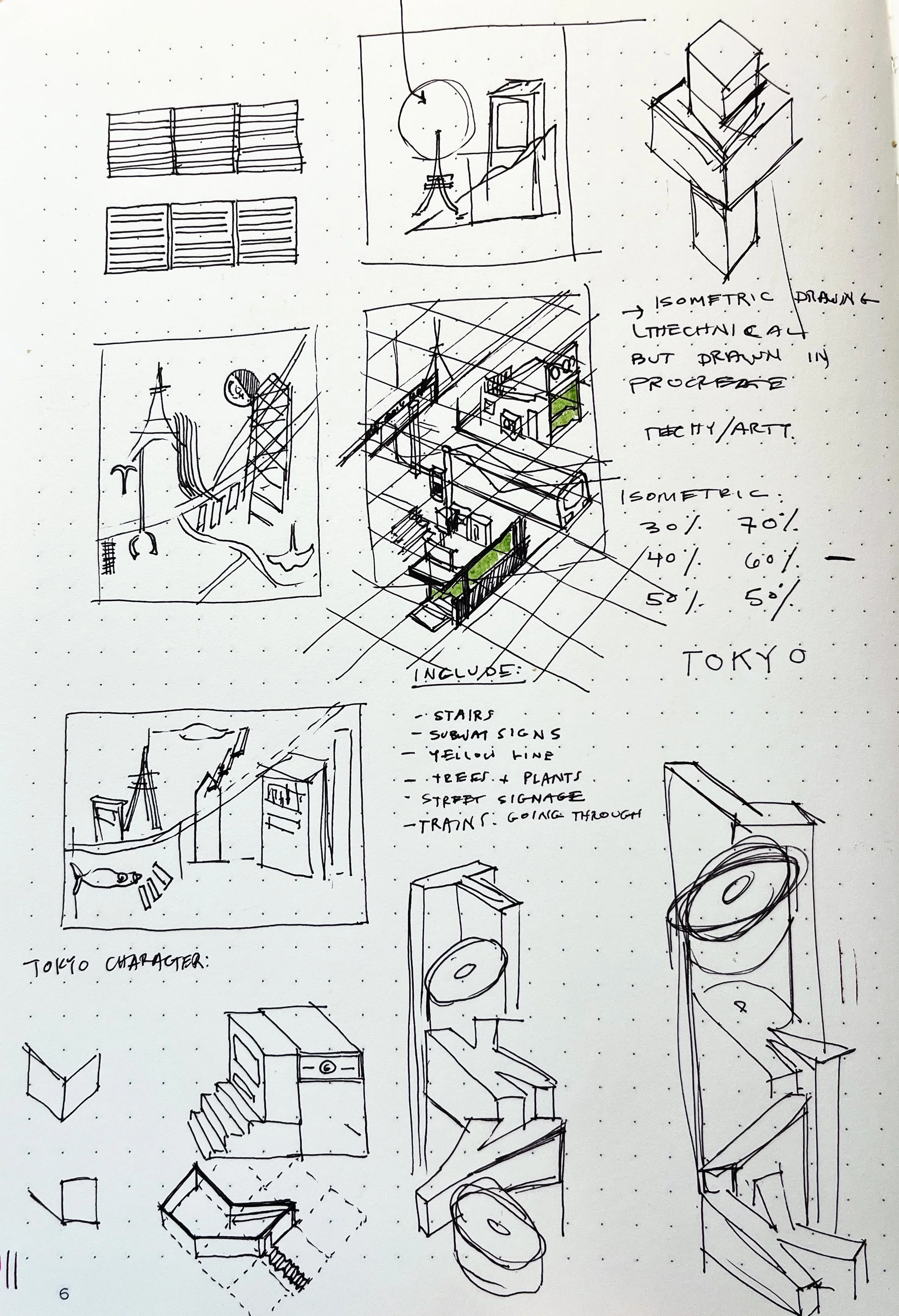
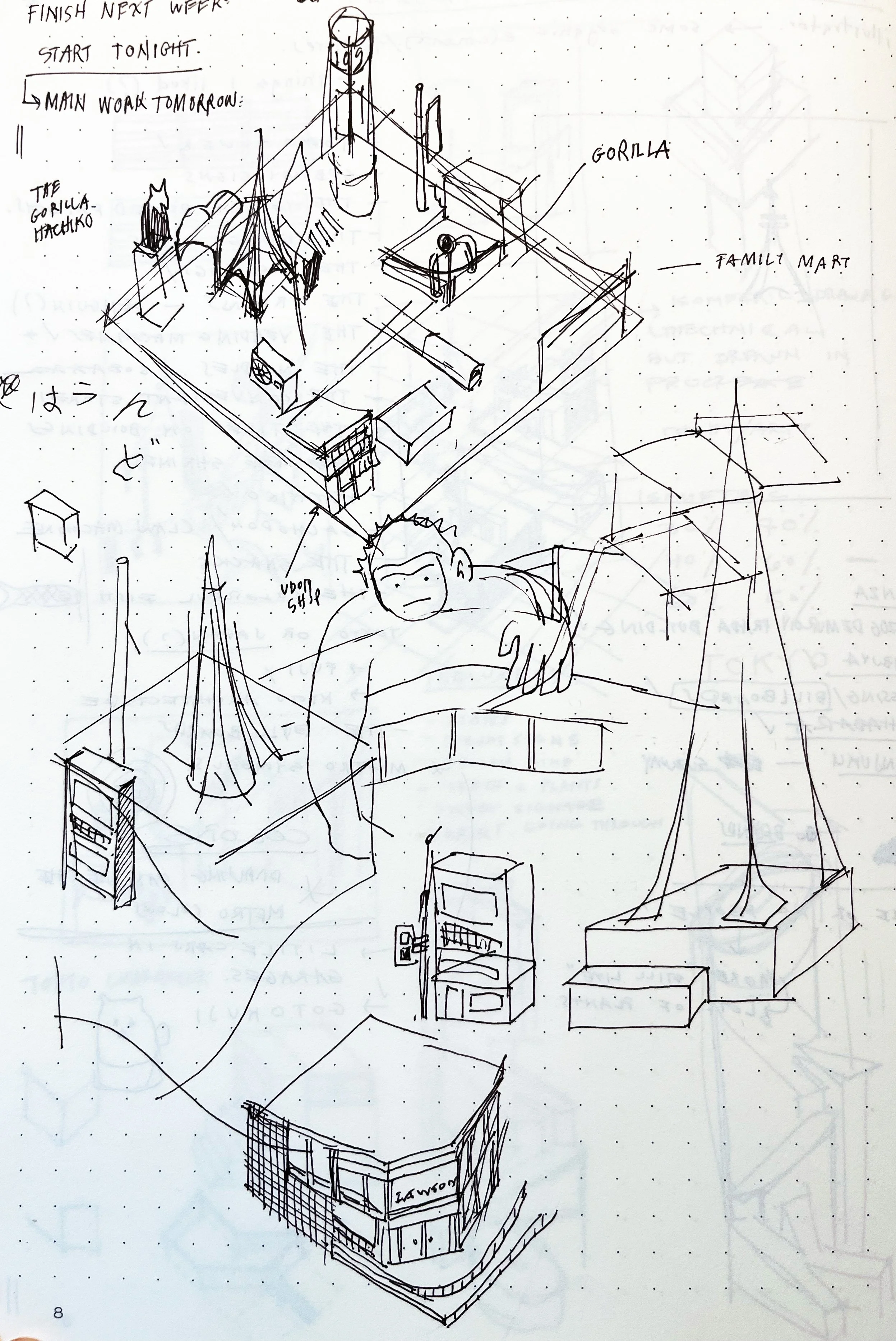
I began by listing places in Tokyo that were meaningful to me and tried to bring them together within a single, compressed map. At this stage, I was editing the content, deciding on what to include and figuring out how everything would sit together in a cohesive composition.
I explored different ways of illustrating the scene, testing both flat and isometric approaches to understand what best supported the complexity of the composition. This led me to develop an isometric grid system, which became the foundation for building out the illustration.
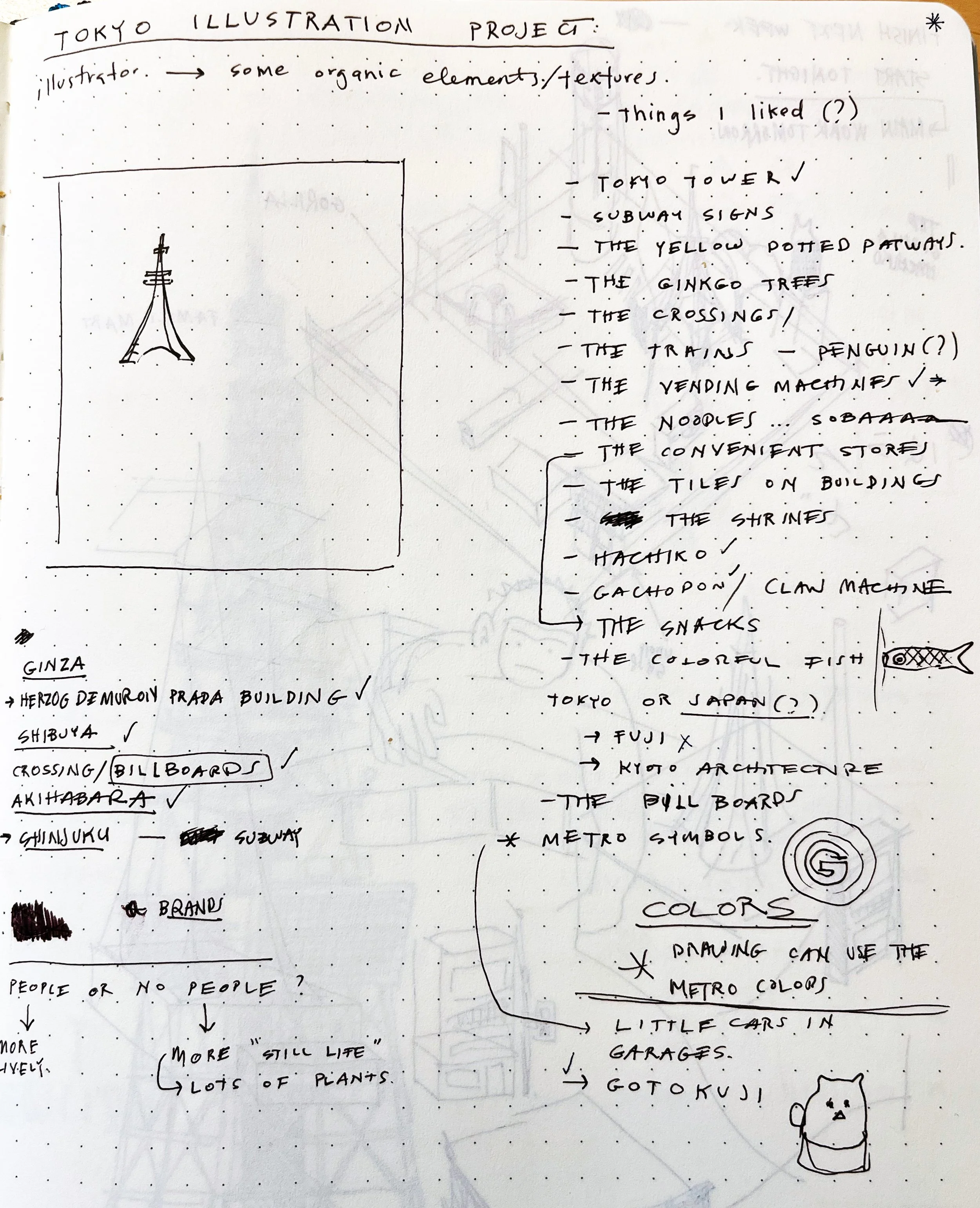
A snippet demonstrating my illustration process: